Quick info
- Long mix of hiking and scrambling to reach the actual summit of Puig Major right outside of the military base.
- Out and back route. The military zone blocks the way for a circular route.
- The main challenges are route finding and the length of the tour.
- No technical gear necessary.
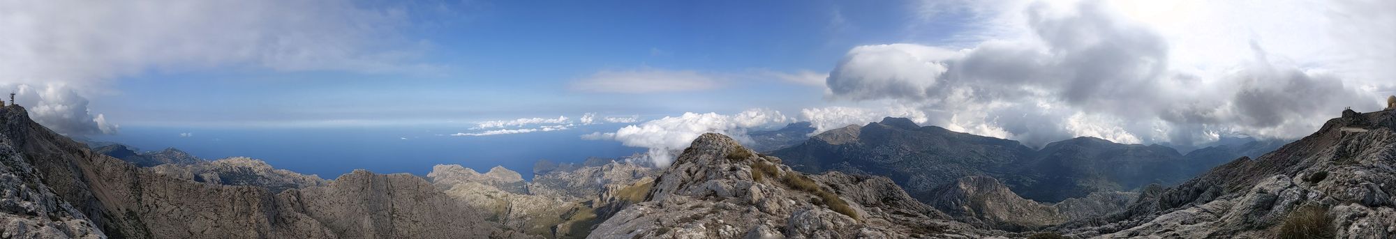
- Stunning views of the Tramuntana range and the ocean the whole way up and down.
General
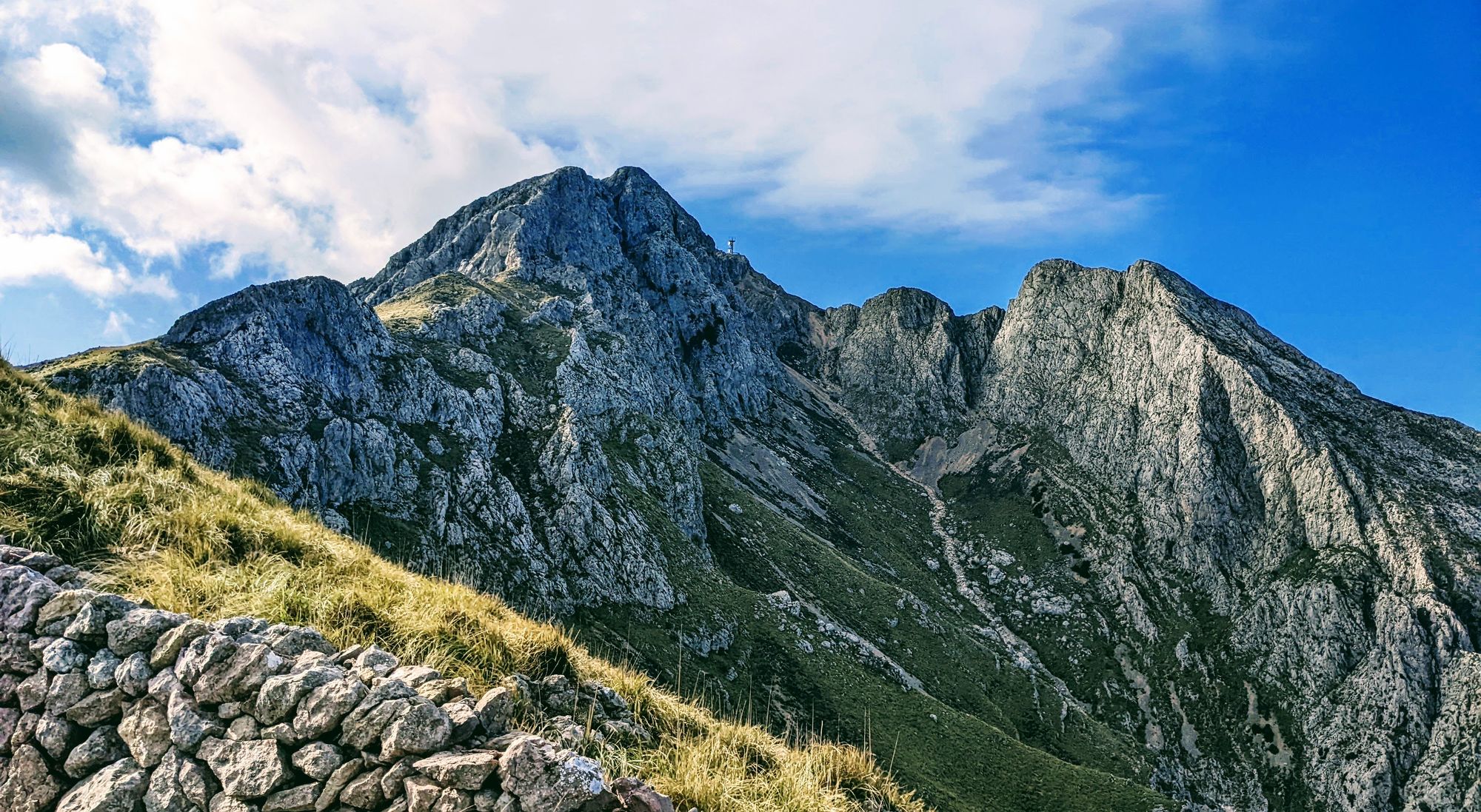
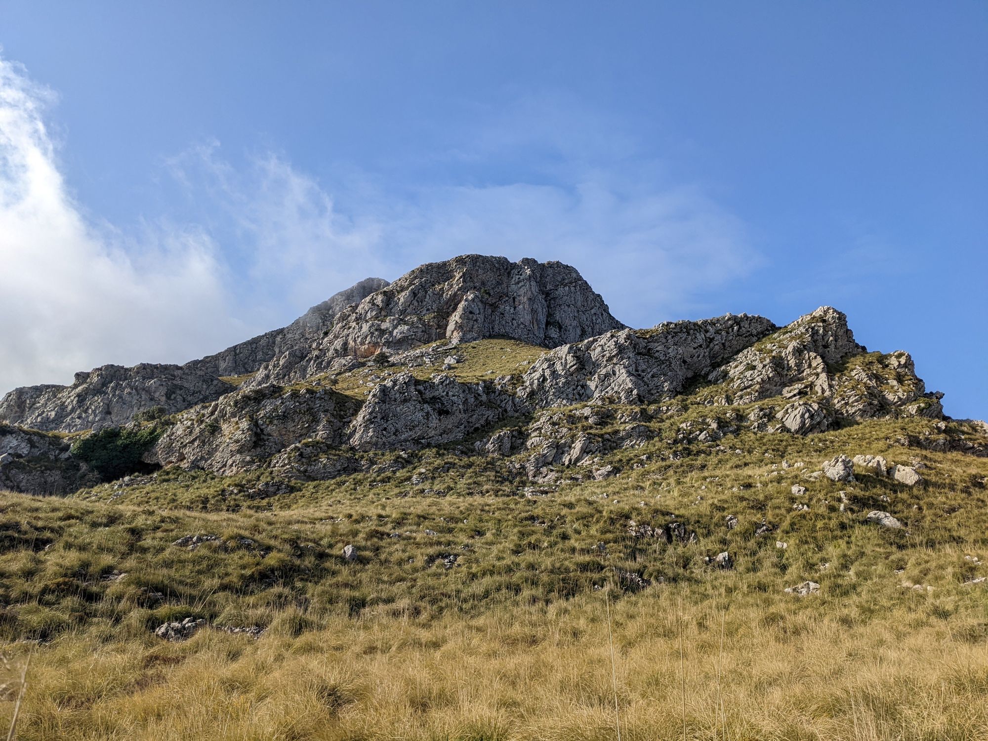
There is no discussion about which is the highest peak on Mallorca: It is Puig Major with 1.436 meters of elevation. However the question of which is the highest peak that can be reached (legally) is more of a debate. From a pure hiker point of view it might be Puig de Massanella (1.364 meters), for a bit more adventures people it might be Penyal de Migdia (1.398 meters). However there is a way to get up onto the North-East summit of Puig Major at 1.415 meters) - just 20 meters shy of the main summit that is used by the military.
Honestly this debate is academic and very unnecessary - what counts is that the scramble up the NE summit is a very worthwhile excursion.
There is a small historic note that needs to be mentioned. There were plans to build a cable car up to Puig Major. It would have started at the Rota d´en Serra bend (you can still see the bricks laid for the station here) and followed the North East ridge to the summit.
Logistics
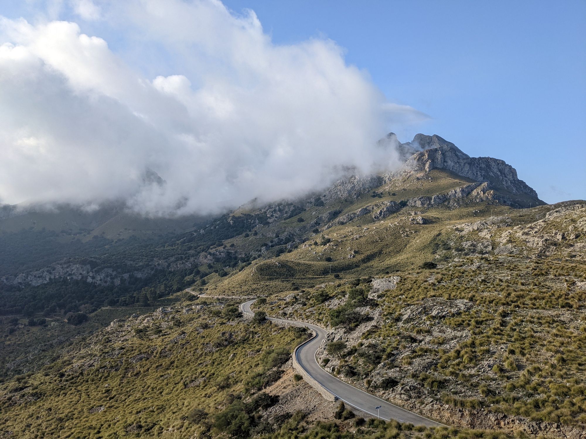
Drive to the Sa Calobra road and park either at the Coll de Reis or shortly before the Rota d´en Serra (also called Es Finicular because of the cable car plans) bend. By parking lower down you do avoid the walk on the road from the Coll but the parking has quite a drop from the road.
If you have not visited Sa Calobra before, driving down the stunning road to the sea and back might be a good additional activity for the day.
Approach
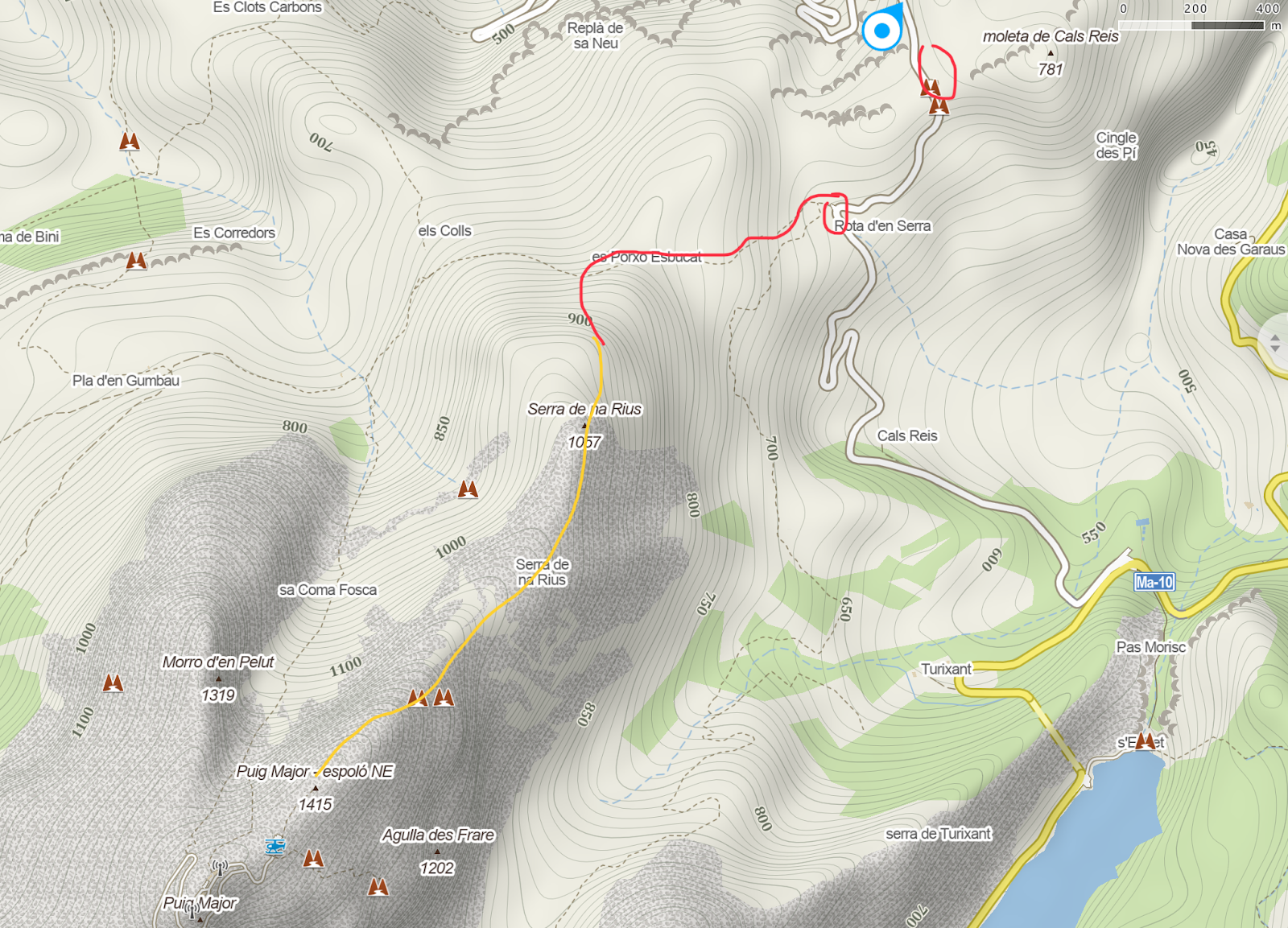
From the parking at the Coll, walk down the road to the Rota d´en Serra and look for the crains marking the hiking trail leading up and east towards the NE ridge of Puig Major. Follow this trail until a small pass (there is a dry stone wall intersecting the trail here) and turn sharp left to start the actual route.
The descent retraces the approach. You could also make your way around the military zone (difficult not to step into the military zone) and take the Coma d´en Ribell back down on the north side.
Technical information
- 9 kilometers out and back with roughly 800 meters of climbing on the first 4.5 kilometers.
- Several scramble sections with long stretches of steep and pathless hiking in between.
- An old fixed rope at the crux chimney at the end of the ascent which is held in place by an old piton.
- Gear: No technical gear necessary. Hiking poles come in handy during long stretches of pathless but easy terrain.
Route finding
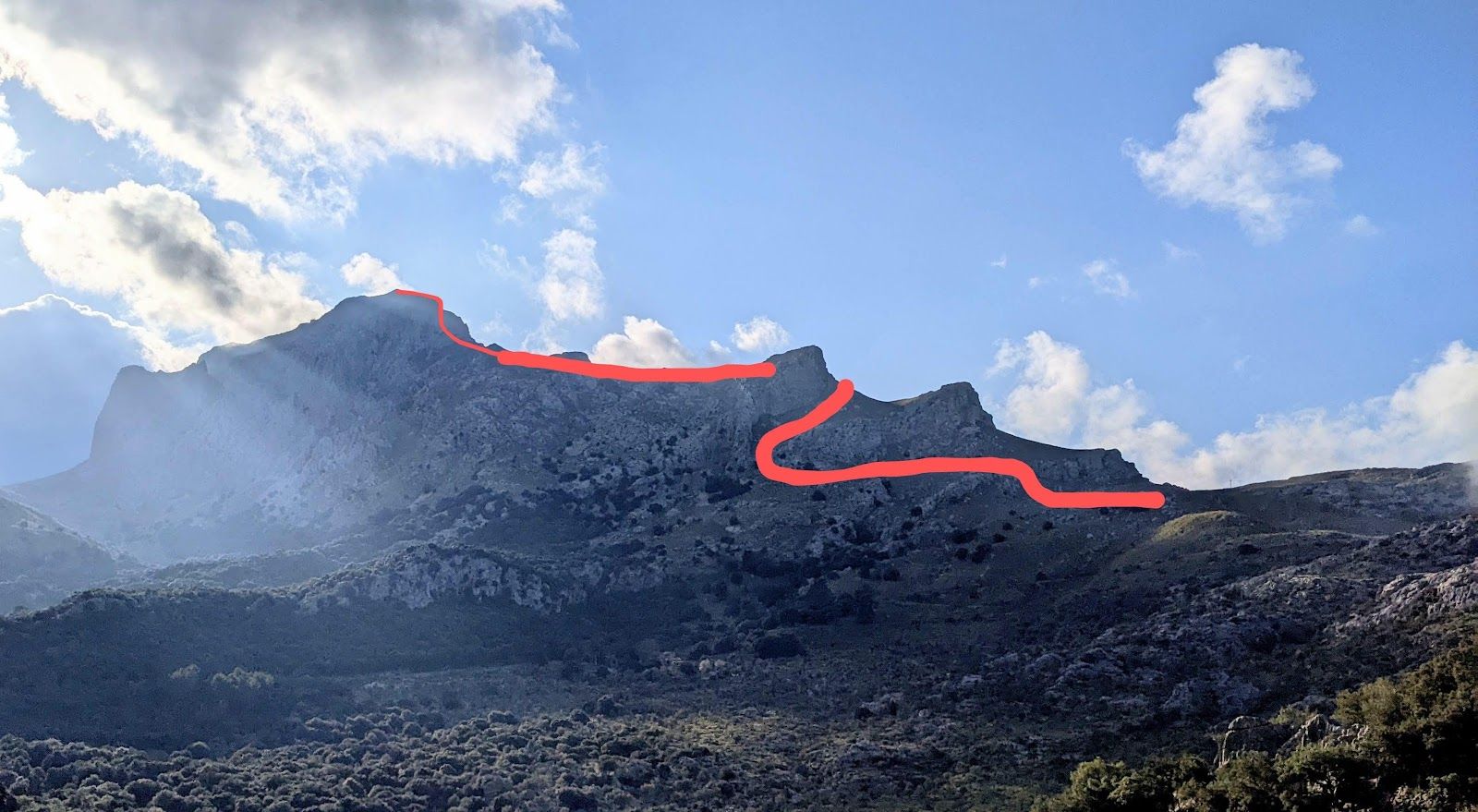
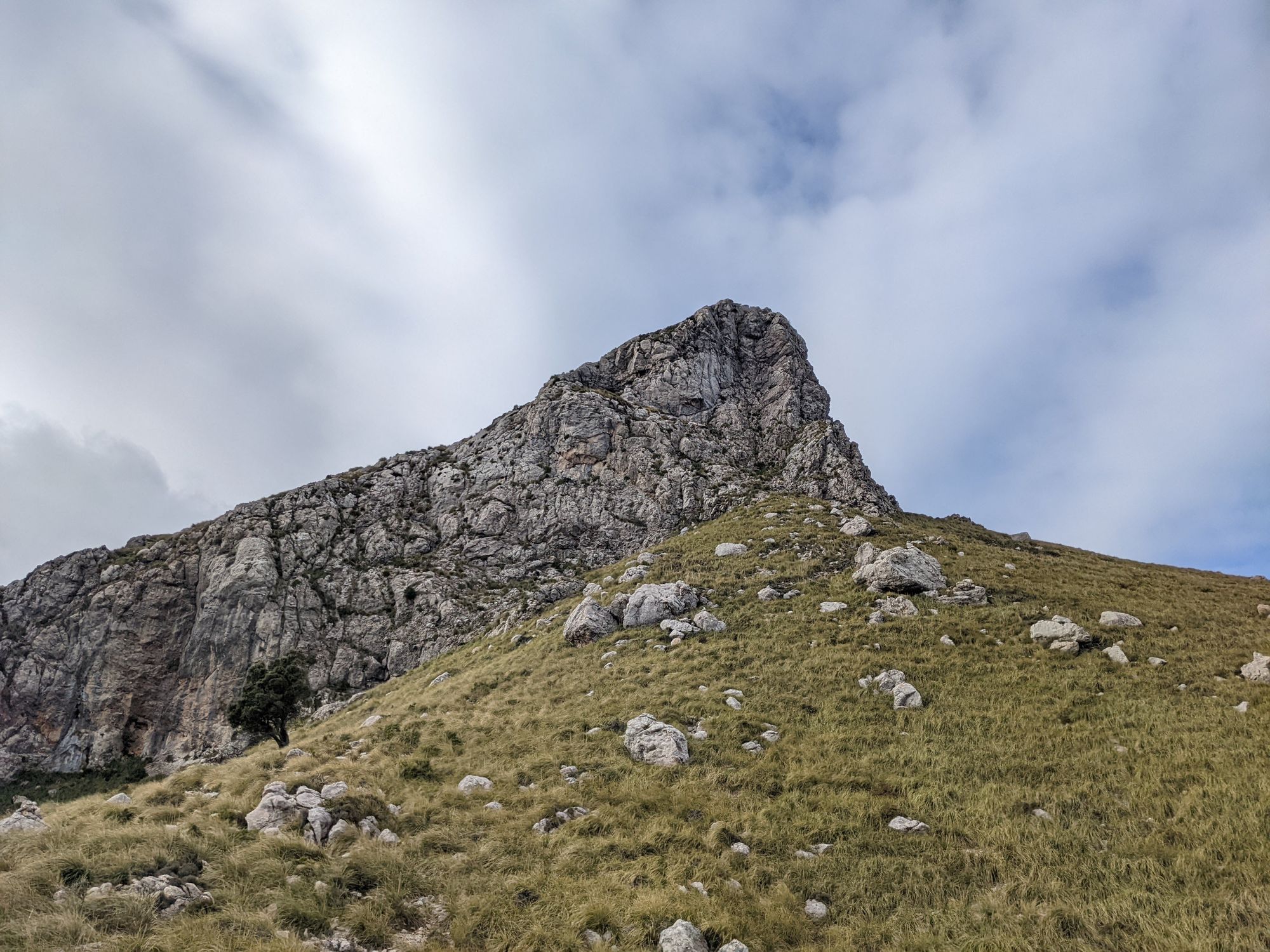
From the dry stone wall make your way pathless along the cliff until you find a passage up. Scramble up here and then along the grassy steep incline to the left until a weakness in the second set of cliffs. Again scramble up and then move towards the third cliff. Here you can either climb around the steep wall on the left side or hike around on the right.
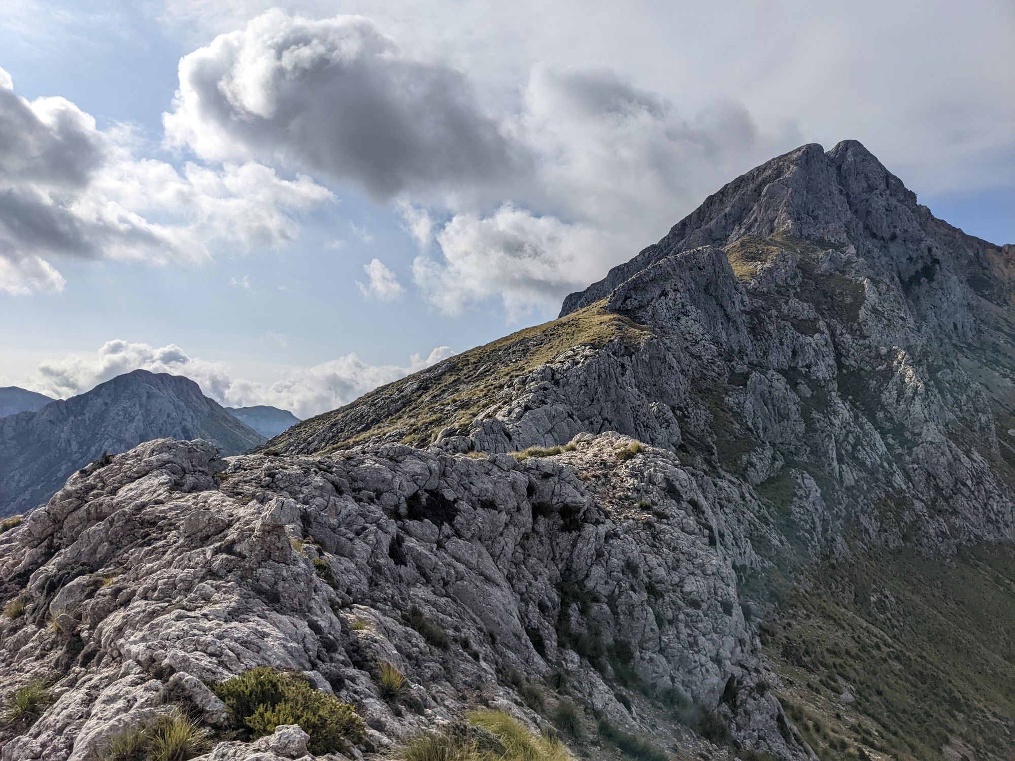
Now the incline eases and you can walk up on the Serra de na Rius ridge towards the main summit.
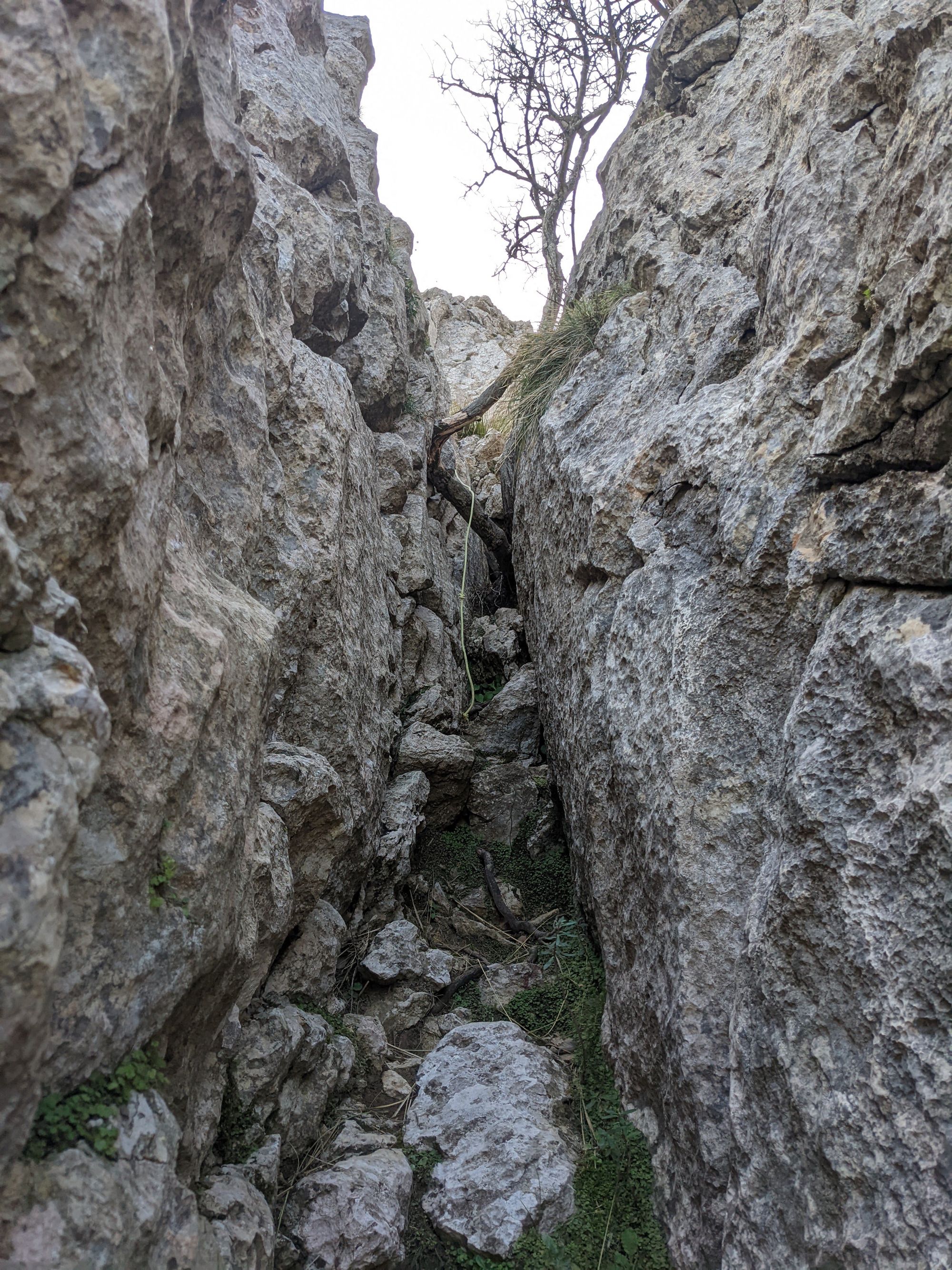
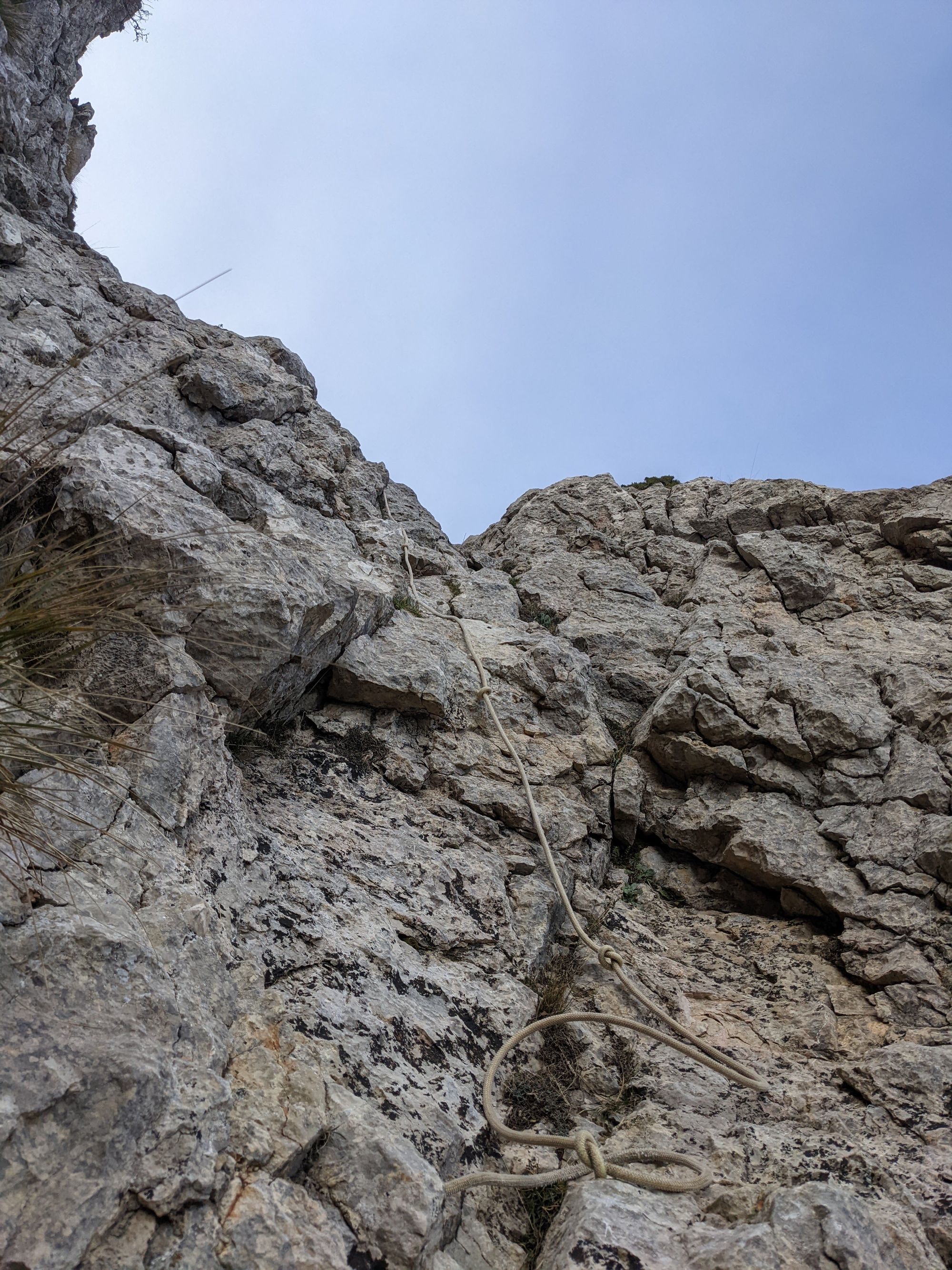
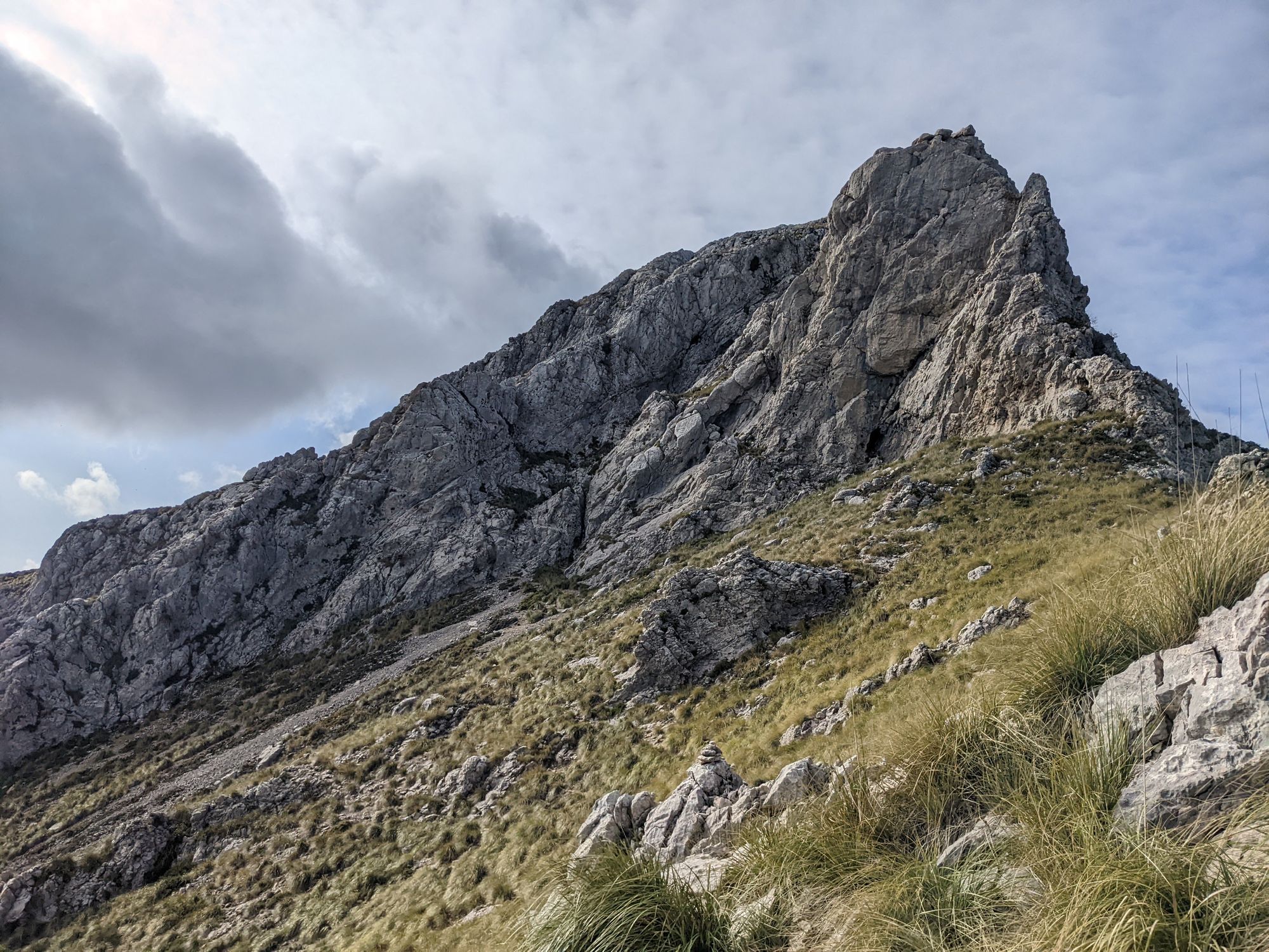
The crux of the route is getting up onto the main summit through a small chimney. Walk straight towards the summit and then follow a faint path and cairns left and slightly down until you find the narrow chimney with the fixed rope (the rope is old and attached on top with a rusty set of pitons - best just to use it to stabilize and not pull too hard!).
Once passed the chimney continue up steeply on exposed and sometimes loose terrain to get back up on the ridge and continue to the summit (marked by a concrete column).